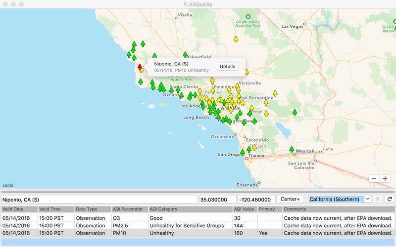
The FLAirQuality application downloads U.S. Environmental Protection Agency (EPA) air quality data from the internet and displays it on a map, one U.S. state at a time. It has access to data for all fifty states plus the District of Columbia, though Alaska appears to be non-reporting at the moment. (Note that the application does not show air quality data for countries outside the Unites States of America.) The map shows a small tree icon for each measurement station, color-coded according to the threat to human health at that location.
Other sources of air quality data usually show only one set of data for each city, one city at a time, whereas FLAirQuality attempts to give a more precise, big-picture view of current air quality conditions. Also, the application shows exactly where each reporting station is located, so you can weigh geography and proximity to pollution sources in with the data values.
That said, please note that the application uses raw EPA data, which has not been verified or massaged in any way. Also, on any given day some of the stations in the EPA’s network will not be reporting any data, or will not have reported yet today.
When you start the application, it loads the last-selected state (unless disabled in Preferences). To avoid stressing the EPA web server, the application loads one reporting station at a time, at intervals of approximately one to four seconds. If a station is not reporting, there will be no icon for it on the map (unless enabled in Preferences). If the available data is not completely current, the map will show a half-filled icon.