Plan, Sync to iPhone, Print/Share
BY backpackers FOR backpackers. Topo Maps+ for Mac can be likened to head quarters for the Topo Maps+ family. Take advantage of the larger screen for planning your backpacking trips then sync your trip details over to your iOS device and head out into the backcountry!
Topo Maps+ is fully functional at its free level allowing you to sync all your waypoints, routes, recorded tracks to your iOS devices, plus you can print maps. For high resolution maps there are both subscription (no auto-renew) access to premium maps & features as well as the ability to purchase individual maps from National Geographic and Canada’s Backroad Mapbooks. Purchases (subscription and individual maps) can be used across all your Apple devices. No hidden or extra fees.
With Topo Maps+ you can:
*Plan your next hike
*Print high quality custom maps
*Sync your routes to your iOS app
PLAN
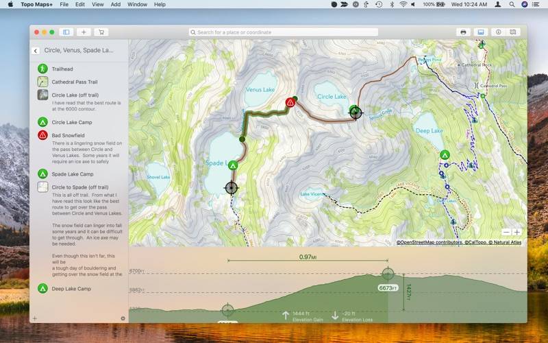
* Easily trace routes to find approximate distance between locations.
* Add waypoints to maps.
* Print, email or share maps
* Trace over a trail on a topo map and then visualize that trail with the MapBox terrain and satellite maps.
MAPS INCLUDED:
(low resolution without Pro subscription)
Detailed USGS 7.5 minute topo maps (with or without relief shading) for the USA.
* Thunderforest outdoor map has contour lines, trail, and outdoor features for the whole world.
* Glacier Topo map has world wide hiking and biking trails.
* MapBox Terrain is a beautiful elevation and land-use layer for the entire world, visualizing hills and elevation contour lines.
* MapBox Satellite offers highly-detailed imagery for the whole world.
* MapBox Street map is an ideal map for urban use and getting to the trail head.
* New Zealand Topo Maps from LINZ.
US NOAA Marine Maps
NRCAN/GEOBC topo maps for southern and western Canada.
* Partial US National Park Visitor Maps
Partial US Forest Service Maps
PREMIUM MAPS available with Pro subscription
Natural Atlas
NeoTreks
PRINT/SHARE
* Custom Maps not constrained to quadrants
* Include your routes, waypoints, elevations and more.
Share your custom maps with your party or leave one behind for loved ones to know where you will be
* Share routes, trips, and waypoints with your friends.
Share custom map images
* Save your routes, trips, and waypoints into categories
* Export routes, trips, and waypoints to KML & GPX files to use in other apps.
Import routes and waypoints from KML or GPX files.
Always take a hard copy map with you!
SUBSCRIPTION LEVELS
FREE: Sync Data, Trace Routes, Elevation Profiles, Waypoints, Record Hikes, Print Maps, Export Data, Import Data, Share Data
Pro: High Resolution Maps plus the Natural Atlas and Neo Treks maps, Trail Segments, Custom Routes, Map Overlays, Grid Overlays, Data Overlays, Edit Tracks, & Routes
CLOUD
Sync your routes, trips, subscriptions, and waypoints between all of your iOS devices.